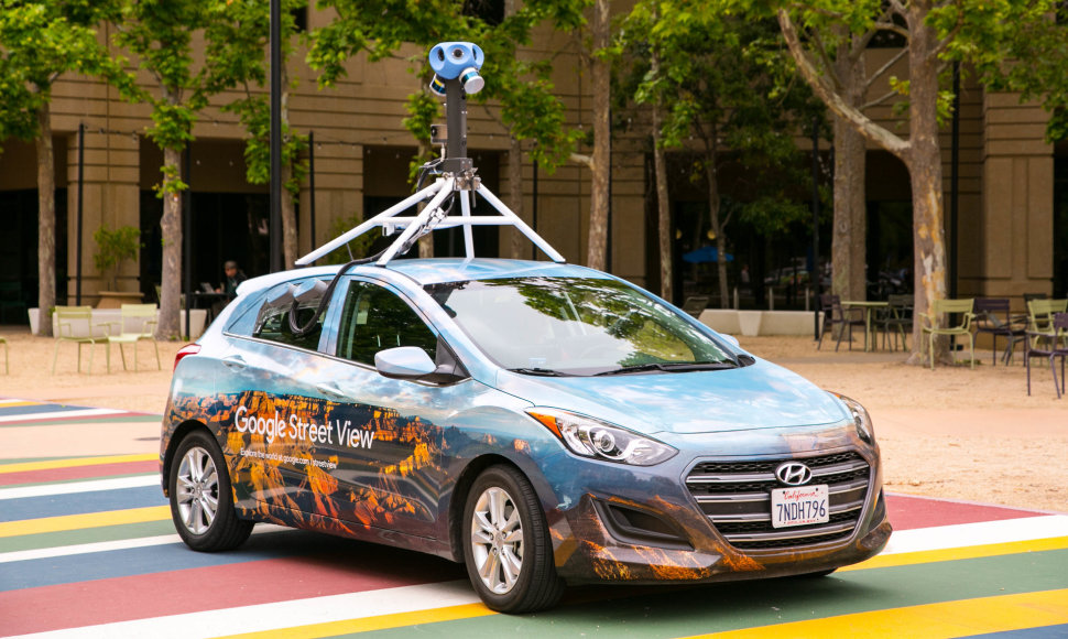
Thanks to Google Street View, users already have the opportunity to visit the majority of Lithuanian cities, many historical monuments, castles, as well as sea resorts and national parks. Google recognizes that infrastructure in cities, but also between cities, is changing and evolving over time, so the imagery needs to be updated regularly. The new imagery will help users find their way even better around different destinations. Street View shows 360-degree imagery of streets as well as natural and cultural landmarks.
In Lithuania, Street View has been available since 2013 and local imagery is regularly updated to provide the most accurate picture of reality. In addition to streets and roads, Google has also captured pedestrian zones of Lithuanian cities, as well as other places inaccessible by car. Thanks to this, users can take a virtual stroll across the Parnidžio Kopa, visit Kryžių Kalnas or see the magnificent views of Medžių Lajų Takas in Anykščiai.
Google is highly committed to protecting privacy. Prior to the publication of the collected imagery, the images are processed with a special technology that blurs people's faces and car license plates so that they cannot be identified and thus their privacy is protected. Street View offers an additional image blur feature (to individuals, cars, houses, etc.) that can be requested by pressing the "Report a problem" button in the lower right corner of any image.
Street View is a popular feature on Google Maps that is currently available in more than 220 countries and territories around the world, including Antarctica and the Arctic. It's available on desktops and mobile devices, as well as in Google Earth.
The drive will start immediately. The cars will visit many cities, including Vilnius, Kaunas, Klaipėda as well as roads across several Lithuanian counties. More information on Street View and detailed information on where our cars are currently driving can be found on: https://www.google.com/streetview/understand/.


